
The Puyallup River in November: Flood Season Arrives on Schedule
It drains a volcano, runs through a valley of farms and warehouses, and rises faster than almost any river in Washington. What Tacoma and Pierce County watch when the rains come.
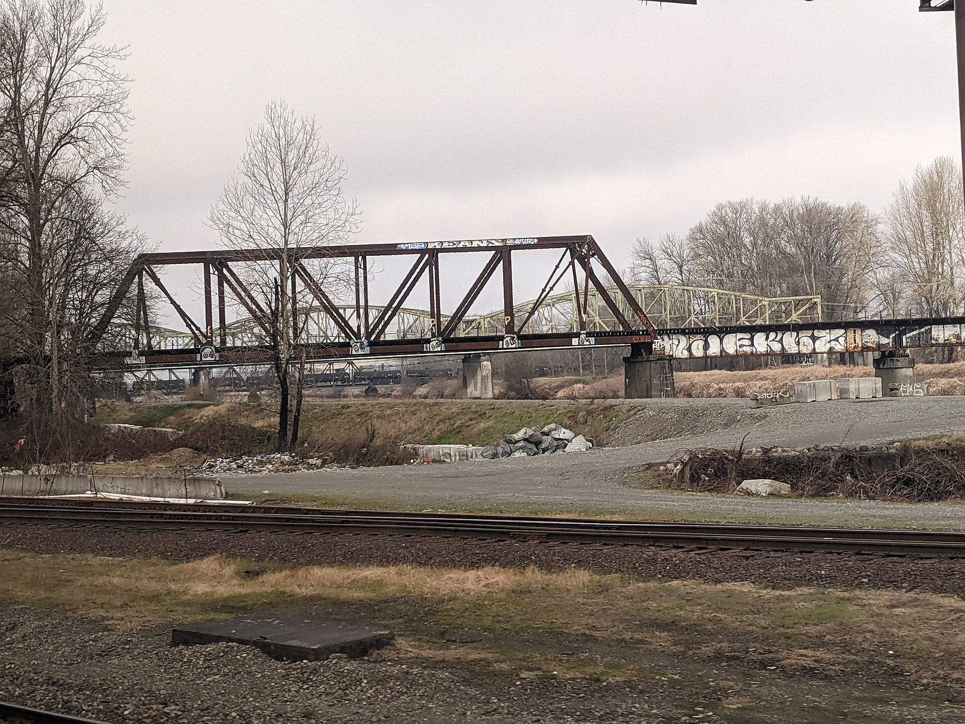
The Puyallup River begins in the glaciers of Mount Rainier and arrives in Tacoma muddy, fast and — in the rainy season — with a temper. November is when the valley remembers: the atmospheric rivers that drench Western Washington each fall fall hardest on Rainier's slopes, and the Puyallup, fed by the Carbon and White rivers, can climb from placid to flood stage in a day.
The stakes are mapped and lived-in. The lower valley — Fife, Puyallup, Sumner, Orting up the Carbon — holds homes, farms, warehouses and the SR-167 and SR-410 corridors on a floodplain the river built and periodically reclaims. The region's defenses are layered: Pierce County's flood-control district and its levee systems, the Mud Mountain Dam on the White River holding back the worst of the peaks since the 1940s, buyouts of the most flood-prone properties, and a flood-warning system that treats the river's gauges like weather radar.
Orting, in the lahar zone between Rainier's glaciers and the sea, is the valley's solemn footnote: the same rivers that flood in November trace the paths a volcanic mudflow could take, and the town's sirens and school evacuation drills are the region's most serious homework. Flood season and volcano season are, on the Puyallup, the same geography read two ways.
The November discipline for river-country residents is old and short: know your zone, watch the county's flood alerts instead of the sky, never drive through water over a roadway — the valley's most repeated and most ignored warning — and give the river its floodplain when it asks. It built the valley. It visits. Plan accordingly.